#365daysofbiking Risen again

December 25th – At Chasewater, I noticed how close to overtopping the weir the reservoir is again, despite the outflow valve to the spillway being open.

That’s a remarkable indication of the state of the recent weather: Naturally, more water is flowing in to the pool than is flowing out. And that’s a considerable amount.

You know what I want for Christmas? A dry spell.

This journal is moving home. Find out more by clicking here

from Tumblr https://ift.tt/2thp6CQ
via IFTTT

#365daysofbiking Stark, bollock naked

October 28th – Telford’s new footbridge linking town and railway station – built to replace an older one rendered unsuitable for wheelchair users – is still plagued with standing water, despite attempts to alleviate it by drilling holes in the bridge deck.

In a total admission of design failure, large diameter holes have now been cut into the floor with grilles like plughole in them. I guess this has to work, if they’re in the right place.

Sadly there is no guttering or drain on the whole structure, and to put it bluntly the drained water will piss onto the commuters standing on the platform below.

Quite how a council and railway management company can allow a huge structure – getting on for 10 million pounds worth – to be built and commissioned with no rainwater control whatsoever is utterly beyond me.

Recently there were posters around the station begging passengers to vote for this ill thought out, awful bodge in some or other architecture competition.

A lot of Telford seems quite fond of this dysfunctional mess.

Telford, your emperor is stark bollock naked.

This journal is moving home. Find out more by clicking here.

from Tumblr https://ift.tt/2q7PM7u
via IFTTT

March 17th – I’ll be honest here, I can only fit ten pictures in a post so I include two more shots of the deer. But the other two are of the spillway at Chasewater, fulfilling it’s purpose. With the main reservoir overflowing with rain and meltwater, the surplus has formed a stead river along the spillway and ins flowing into the 1980s era storm drain under the Victorian brick-lined overflow. The new system conducts the flow into the crane brook, a tributary of the Footherley/Black/Bourne Brook, itself a feeder of the Tame. 

The storm system is documented in this post on my main blog here.

It will be interesting to see how long this situation is allowed to continue, as the reservoir owners Staffordshire County Council are currently at odds with the Canal and River Trust, who expect access to the water it contains for maintaining the level of the local canals. 

I must try and get to the Crane Brook downstream and see what the flow is like before it stops.

February 26th – The water level at Chasewater is lower than I’ve seen it for a while. Interestingly, rather than open the valves fully, there’s a good flow into the canal, and the balancing culvert between the Nine-Foot pool and Spillway has been opened, allowing a steady stream of water to flow into the Crane Brook via the drain system under the canal.

I understand why the level is being dropped – with the dam being permeable, if installing drains you want the installation to be as dry as possible – but I’m puzzled by the method. It has, however, been convention since the original dam works to allow the reservoir to overflow every spring, so perhaps this is to irrigate the spillway marsh as it would be normally.

Interesting too to see the white scale around the lowered waterline. It that salt, or something else?

November 10th – Passing the narrows on the canal between the M6 flyover and the Bentley Mill Way aqueduct on the Walsall-Darlaston border, I note someone is preparing to drain a stretch of canal – presumably for the works near the aforementioned aqueduct.

Theses just-delivered, fresh cut planks – stout, and carefully profiled – will be dropped into the slots in the narrows, sealed with plastic sheeting and a similar dam built on the other side of the worksite. The dammed section is then drained.

It’ll be interesting to see what work is done.

July 24th – I came home from work through Brownhills over Anchor Bridge, avoiding the towpath mud from the hours of steady rain. It wasn’t unpleasant out, and was as enjoyable as summer rain could ever be, but as I pulled over onto the footpath to take a call, I looked over the parapet and was reminded of something that’s been troubling me for years.

There appears to be a storm drain from the Lindon Road draining directly into the canal below, hence the brown mud plume in the water. that runoff will contain oil and diesel, rubber and all manner of road surface pollutant nasties. Draining it straight into the canal doesn’t seem right to me.

It’s been like this for as long as I can remember. Surely that can’t be compliant with modern standards, can it?

February 15th – This was a surprise, I must say; in the past couple of years, Chasewater has been allowed to fill overwinter to the point which it overflows, but apparently not this year. The water level has steadily risen to about 300mm (a foot) or so off full, and today, water was draining quickly into the canal from the reservoir.

I guess the Canal and River Trust must need the water for some reason – that is, after all, why Chasewater exists – but it does seem unusual. Hope they don’t draw too much down this time.

September 19th – There seems to be a lot of work going on with the local canals at the moment. At Walsall Wood, the embankment has be reinforced near the Black Cock Bridge, and near the Big House in Clayhanger, a month ago a pump appeared for a few days, and disturbance in the scrub showed work had been carried out surrounding the canal sluice drains there. Coming home down the canal from Aldridge, I noted that the sluice hear had been oiled, painted and digging had been going  on.

Wonder why the sudden rash of maintenance?

September 14th – The boating lake at Chasewater has been drained for cleaning, and the old water spread on the west heath, by the railway. Odd to see this pool empty, but the feral white geese and opportunist wagtails didn’t seem to mind too much.

I noted they had warning signs out to avoid the area where the old water was spread, like it was suddenly a health hazard; whereas when it was in the pond, we were invited to sail toy boats and paddle canoes in it…

Let’s hope it’s kept a bit cleaner in future.

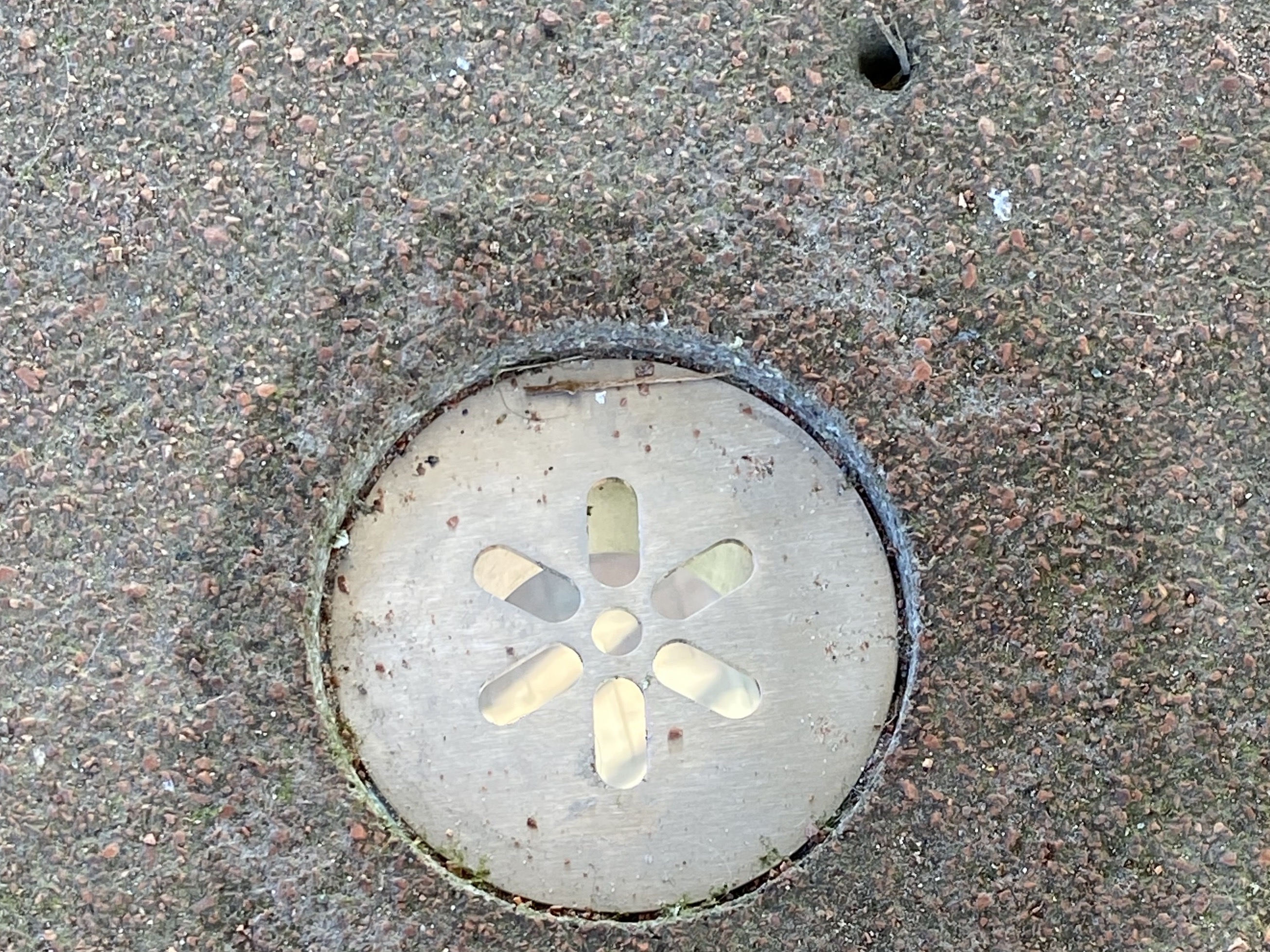
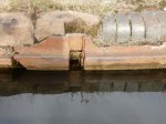
April 17th – The minutiae of drainage engineering are wonderful. I’ve been passing this array of manholes for a couple of weeks now, and noticed that new bars had been installed across the covers. It’s taken me ages to work out what they’re for. It’s not what one may imagine.

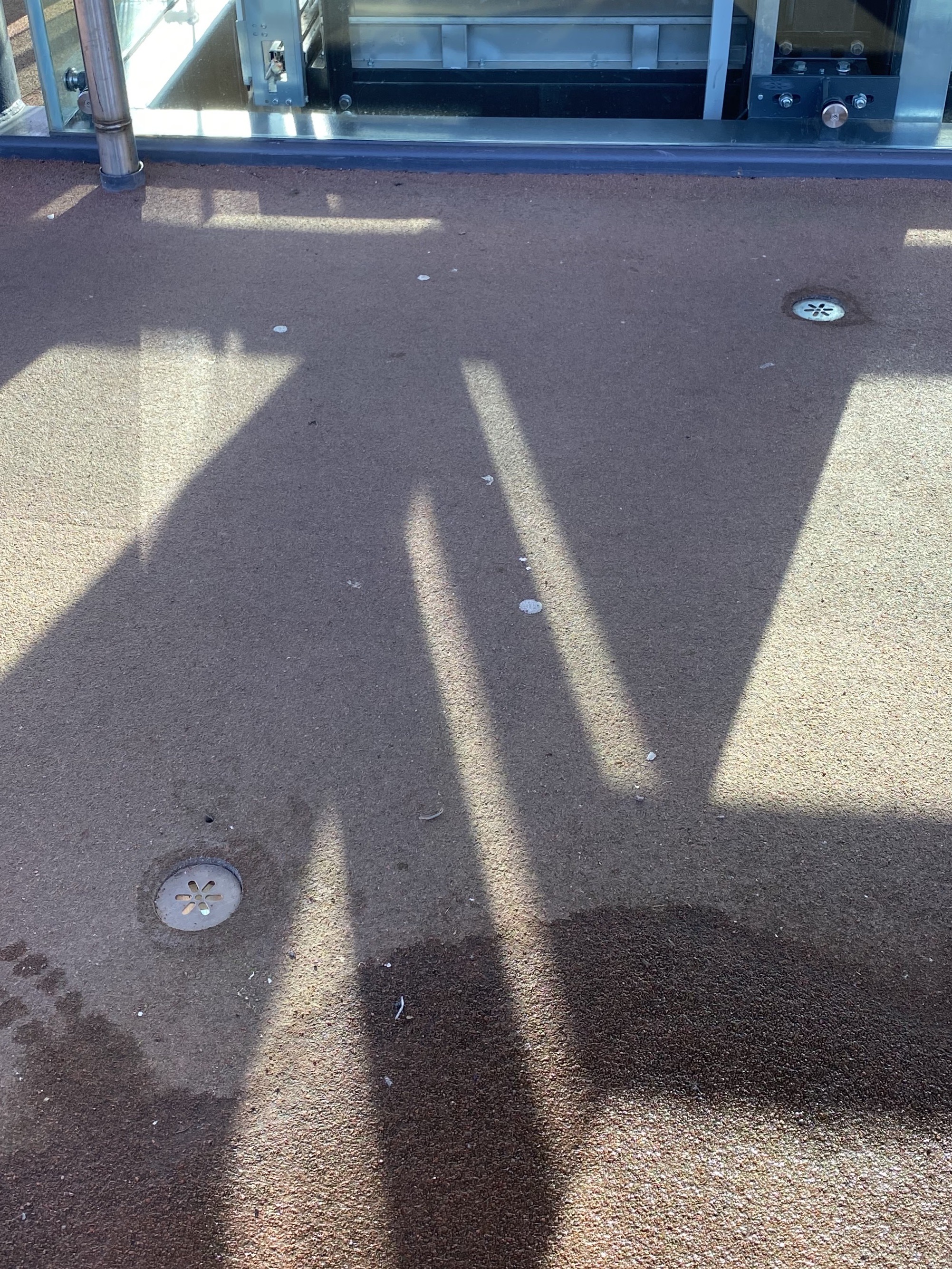
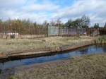
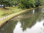
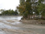
Opposite a small, automatic sewer pumping station on Green Lane at Bullings Heath, Walsall Wood, there is the concrete cap to what must be a storm buffer. A storm buffer is a large underground tank that, in time of heavy rainfall, collects drainage water and fills up, storing it and allowing slower discharge into the main network to prevent overload. There are lots around and they work well; you can tell this is one due to the large circular ‘cap’ evident with the access covers.

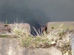
Recently, bars were mounted over the covers. Initially, I assumed they were to prevent access by drainers – a type of Urban Explorer that goes into sewers and storm drains to explore – but they aren’t actually secure. They’re secured with normal nuts and bolts, not locks. A couple of covers in front (not shown), which I think house pumps of valves – are not so protected.

They have actually been fitted to prevent internal pressure from blowing the access covers out. If the buffer filled to capacity due to a storm event, water pressure would increase against the hatches, and lift them out. That would then expose anyone walking through the subsequent flood liable to fall into a very deep, open manhole.

The bars are therefore a safety feature.

I wonder what has occurred, and where, to make this risk suddenly appreciated?